Les immanquables de Champex-Lac
Télésiège de la Breya
Télésiège de la Breya
Fort d’artillerie de Champex-Lac
Fort d’artillerie de Champex-Lac
Chasse au trésor à Champex-Lac
Chasse au trésor à Champex-Lac
N. 33 Le Belvédère
N. 33 Le Belvédère
Jardin botanique alpin Flore-Alpe
Jardin botanique alpin Flore-Alpe
Bienvenue à
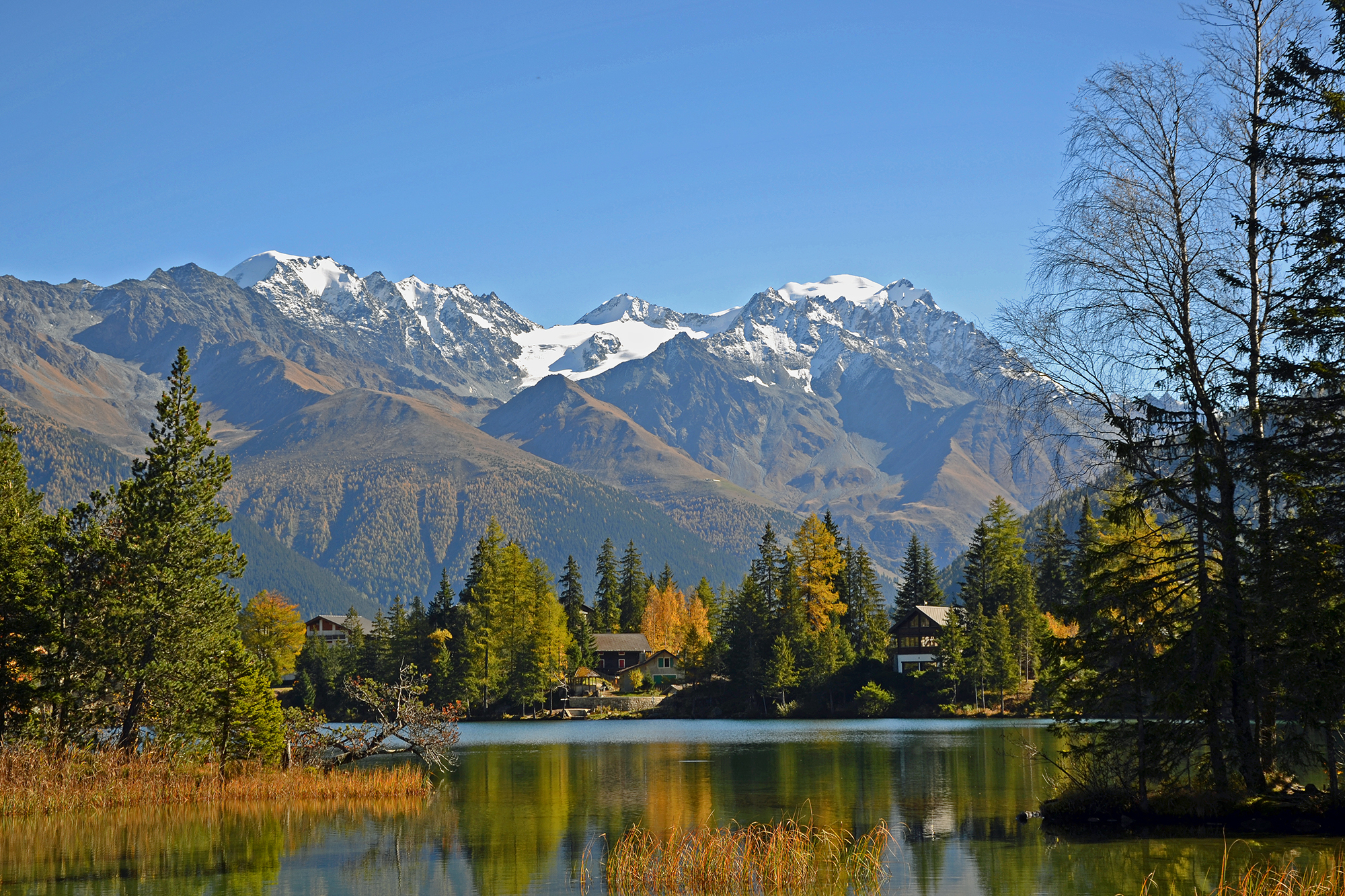
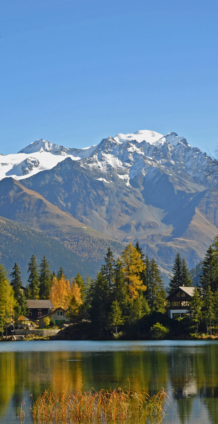
Champex-Lac
Lové autour d’un magnifique lac alpin, ce village cultive une tradition d’accueil chaleureux depuis plus d’un siècle. La station est surnommée à juste titre comme le “petit Canada suisse” avec ses vastes forêts, son lac et ses chalets traditionnels en bois.
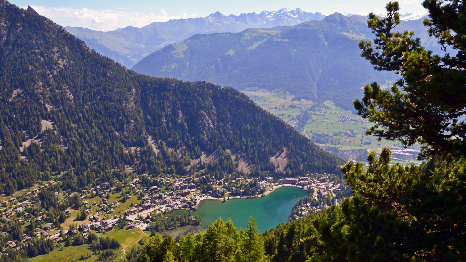
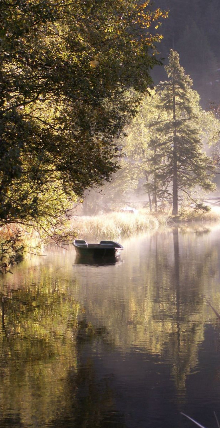
En été, chacun y trouvera une large palette d’activités pour la détente et le sport : balades sur le lac en barque ou pédalo, flâneries le long d’un bisse ou randonnée sportive, pêche, etc. A ne manquer sous aucun prétexte : la visite enchanteresse du jardin botanique alpin et la découverte du fort d’artillerie dans les entrailles de la terre. Comme la Fouly, Champex-lac est une étape importante sur le tracé international du Tour du Mont-Blanc.
Les familles y trouveront une offre hivernale attractive: pistes de ski et de ski de fond, patinoire naturelle, balade autour du lac, sentiers raquettes balisés, balade avec les chiens du St-Bernard. De plus, la station se trouve sur le parcours de la Haute-Route qui relie Chamonix à Zermatt et constitue généralement le deuxième arrêt de cette randonnée à ski mythique. À Champex-Lac, l’hiver se décline au pluriel !
Bienvenue à Champex-Lac!

Fais le plein
d’activités!
Accès à plus de 15 activités
transports publics illimités


Agenda
À la fin, donc aujourd’hui, je t’aime
À la fin, donc aujourd’hui, je t’aime
Fête d’ouverture
Fête d’ouverture
Visites guidées du fort d’artillerie
Visites guidées du fort d’artillerie
Visites guidées du fort d’artillerie
Visites guidées du fort d’artillerie
Championnat Suisse de micro-voiliers
Championnat Suisse de micro-voiliers
Visites guidées du fort d’artillerie
Visites guidées du fort d’artillerie
Visites guidées du fort d’artillerie
Visites guidées du fort d’artillerie
Champex’stival Open Air
Champex’stival Open Air
Atelier découverte du Jardin botanique alpin Flore-Alpe pour adultes et enfants
Atelier découverte du Jardin botanique alpin Flore-Alpe pour adultes et enfants
Atelier découverte du Jardin botanique alpin Flore-Alpe pour adultes et enfants
Atelier découverte du Jardin botanique alpin Flore-Alpe pour adultes et enfants
Marché du terroir et de l’artisanat
Marché du terroir et de l’artisanat
Atelier découverte du Jardin botanique alpin Flore-Alpe pour adultes et enfants
Atelier découverte du Jardin botanique alpin Flore-Alpe pour adultes et enfants
L’office du Tourisme
OFFICE DU TOURISME
DE CHAMPEX-LAC
Route du Lac 38
1938 Champex-Lac
+41 27 775 23 83
champexlac@saint-bernard.ch
Hors saison (08.04 – 10.05.2024) :
Fermé
Hors saison (11.05 – 14.06.2024) :
Samedi et dimanche 8h30-12h
Haute saison (15.06 – 16.09.2024) :
Tous les jours 8h30-12h et 13h-17h30